Most people are intrigued by the potential of drones to create immersive 360° virtual tours. By capturing stunning aerial footage and providing unique perspectives, drones enhance your ability to showcase properties, landscapes, or events. However, you must consider local regulations and safety concerns when using drones for this purpose. With the right approach, you can leverage drone technology to elevate your virtual tours, making them more engaging and informative for your audience.
While drone technology has rapidly advanced, allowing for unprecedented aerial photography and videography, understanding its intricacies is necessary for creating immersive experiences. Drones equipped with high-resolution cameras and stabilisation systems capture stunning visuals from unique angles. Additionally, the utilisation of GPS and advanced navigation technologies ensures precision during flight, providing you with a stable platform for your imagery.
Drone technology comes in various forms tailored to different photographic needs. Below is a table highlighting the types of drones typically used in photography:
| Type | Features |
| Multirotor Drones | Stability and ease of control |
| Fixed-wing Drones | Longer flight time and range |
| Hybrid Drones | Combines capabilities of both types |
| Camera Drones | High-quality imaging capabilities |
| FPV Drones | First-person view for immersive filming |
Assume that you select a drone suited for your specific aerial photography needs to ensure optimal results.
Among the various aspects of drone technology, certain features are vital for achieving impressive 360° imagery. These include:
You should focus on these features when selecting a drone for your 360° imaging projects.
Consequently, these key features enhance the quality of your 360° visuals, allowing for a more engaging viewer experience. They ensure that you capture every detail from multiple angles, providing a comprehensive virtual representation. The importance of high-resolution cameras cannot be overstated, as this determines the clarity of your images. Equally, stabilisation systems avert unwanted motion blur, while GPS integration aids in mapping out your flight paths. Finally, extended battery life allows for longer capture sessions, maximising your productivity. You will find that prioritising these features will lead to impressive outcomes in your virtual tours.
There's a systematic approach to creating a 360° virtual tour that involves careful planning, execution, and editing. By integrating advanced drone technology with panoramic photography, you can deliver an immersive experience that captures the essence of a location. This process not only showcases the space effectively but also uniquely engages viewers.
Along with capturing stunning visuals, you must meticulously plan your drone's flight path to optimise coverage and ensure safety. This involves selecting key points of interest, considering factors such as lighting and weather conditions, and adhering to local regulations governing drone usage. With a well-planned route, you'll enhance the overall quality of your tour.
By utilising advanced camera technology, you can capture high-resolution images important for your virtual tour. The quality of your images impacts the immersive experience, so it's important to shoot in ideal lighting conditions to avoid any distortion. Properly calibrating your drone’s equipment ensures you attain superb clarity and detail in every shot.
The process is everything when it comes to capturing high-resolution images for your 360° virtual tour. Make sure your drone is fitted with a high-quality camera capable of taking detailed shots, and position it to minimise motion blur. You should also set a stable altitude and angle for the drone to obtain consistent imagery across the entire flight path. Taking multiple shots from various angles ensures that you have options to choose from when stitching the images together later. Always keep an eye on the battery life to prevent losing power mid-flight.
Now, the process of creating a seamless 360° virtual tour involves stitching together a series of images captured by your drone. Various software tools are available, designed specifically for this task, which can automate and enhance your workflow, allowing for higher quality results and a more immersive experience for your viewers.
By exploring popular software options, you will find programmes such as Adobe Photoshop, PTGui, and Kolor Autopano. Each offers unique features and varying levels of complexity, enabling you to select the best fit for your skillset and project requirements.
With the right tools, integrating your drone footage into virtual tour platforms can elevate your projects significantly. Many platforms now support direct uploads from popular drone software, enabling smooth transitions from footage capture to tour creation.
With software compatibility at the forefront, you can easily connect and upload your stitched images directly to platforms like Matterport or 3DVista. This integration allows for a streamlined process, offering you the ability to create engaging, interactive experiences that resonate with users. However, it is necessary to ensure your drone footage is high quality, as any compromises in quality can severely affect the final presentation. This integration paves the way for a more professional output, showcasing your work effectively across various digital mediums.
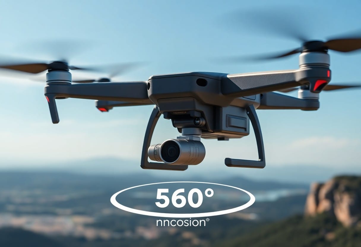
After considering the traditional methods of creating virtual tours, you will find that drones offer a plethora of benefits. These cutting-edge devices not only provide stunning visuals but also offer improved access to hard-to-reach areas, ultimately enhancing the overall virtual experience. With the ability to capture high-resolution images and videos from unique angles, drones can significantly elevate the quality of your virtual tours.
One of the standout advantages of using drones for virtual tours is the enhanced visual appeal they bring. By capturing aerial views and sweeping landscape shots, drones create a dramatic perspective that simply cannot be achieved with conventional photography. This immersive experience engages viewers more effectively, enabling them to appreciate the property or location in its full glory.
Visual comparisons reveal that employing drones for virtual tours often proves more cost-effective than traditional methods. Rather than hiring a crew for multiple types of specialised equipment, you can achieve stunning results with a single drone setup. This efficient approach not only saves you money but also reduces the time needed to produce high-quality content.
Cost-Effectiveness Compared to Traditional Methods
| Aspect | Drone Use |
|---|---|
| Initial Investment | Lower costs for one-time use |
| Equipment Rental | No need for expensive rental |
| Staffing | Less manpower required |
| Time Efficiency | Quick turnaround on shoots |
Tours conducted with drones not only cut down on equipment and labour costs but also streamline your workflow. The convenience of having a readily available tool to capture high-quality images means you can easily produce professional-grade content without the burden of extensive planning or resource allocation. As a result, you’ll find the overall process much more efficient, allowing you to focus on showcasing your property or location effectively.
Not every location is suitable for drone-based 360° virtual tours. You may encounter challenges such as limited airspace, privacy concerns, and the risk of damaging property. Additionally, seamlessly ensuring high-quality images can be tricky, requiring skilled operation and adequate planning.
Below are some regulations to consider when using drones for virtual tours:
Understanding these legal nuances can significantly impact your drone project.
Considerations also include how weather conditions affect your drone’s performance. Strong winds, rain, or fog can hamper visibility and stability, potentially leading to poor-quality images. You should check the forecast and plan shoots during optimal weather conditions for the best results. Any disruptions due to adverse conditions can delay your project.
Another challenge relates to the impact of environmental factors on drone operations. These may include:
Any of these elements can affect your overall strategy and require adjustments to your plans. Being aware of these environmental factors ensures a successful experience with drone usage.
Unlike traditional photography, drones have opened new avenues in creating immersive experiences. Here are some impressive case studies showcasing the application of drones in 360° virtual tours:
For more insights, visit Aerial 360 Virtual Tours | DJI Mavic, Air & Mini Drone Community.
With the integration of drones, you can showcase properties more effectively and engagingly. Many real estate agents now leverage aerial 360° tours to provide potential buyers with comprehensive insights into the property and its surroundings, enhancing the overall viewing experience.
Across various industries, drones revolutionise tourism and events by offering visitors an enticing preview of locations. You can effectively highlight landscapes, events, and attractions, drawing more visitors and enhancing their experiences.
Promotion of your event or destination through drone-captured 360° tours can significantly enhance visibility and engagement. By offering captivating aerial views, you can showcase the unique aspects of your location, encouraging visitors to experience it firsthand. Furthermore, the high-quality visuals captured by drones can create a lasting impact on your audience, making them more likely to share your content and spread the word about your offerings. Positive feedback from visitors often leads to a snowball effect, boosting attendance and creating memorable experiences.
Hence, drones can indeed be utilised to create a 360° virtual tour, enhancing the visual storytelling of your project. By capturing panoramic images and high-resolution video from unique aerial perspectives, you can offer a more immersive experience for your audience. Harnessing advanced drone technology allows you to showcase locations with unprecedented detail and context, making your virtual tours more engaging. With the right planning and execution, incorporating drones into your virtual tour strategy can elevate your presentation to new heights.
A: Yes, drones are increasingly being used to create 360° virtual tours. Equipped with specialised cameras, drones can capture high-resolution panoramic images from various heights and angles, providing a comprehensive view of the area. This technology is particularly useful for showcasing large properties, scenic landscapes, or commercial spaces where traditional photography may be limited.
A: To create a 360° virtual tour with drones, you'll need a few imperative pieces of equipment. Firstly, a drone equipped with a stabilised camera capable of shooting 360° panoramic images is required. Additionally, software for stitching the images together into a cohesive tour and a ground control system to manage the drone's flight path may also be beneficial. Ensuring that the drone complies with local regulations and is flown safely is, of course, paramount.
A: Yes, regulations regarding drone use vary by country and region, so it’s important to be informed about local laws before conducting a virtual tour using drones. Generally, operators must obtain the necessary permits and ensure their drone is registered. In many areas, flying above certain altitudes, near populated areas, or in restricted airspace is prohibited. It’s advisable to check with local aviation authorities for specific guidelines related to commercial drone operations.